Applications and Utilities
The Information Services (IS) section maintains the TxGIO digital data library and provides public accessibility to its contents. This accessibility is via the production and maintenance of numerous web applications, tools, utilities, and code packages, which leverage geospatial information for public benefit. Some examples include our DataHub, multiple web mapping services, APIs, etc. The IS section is a strong advocate for open source development and the majority of code for their projects are available on Github.
DataHub

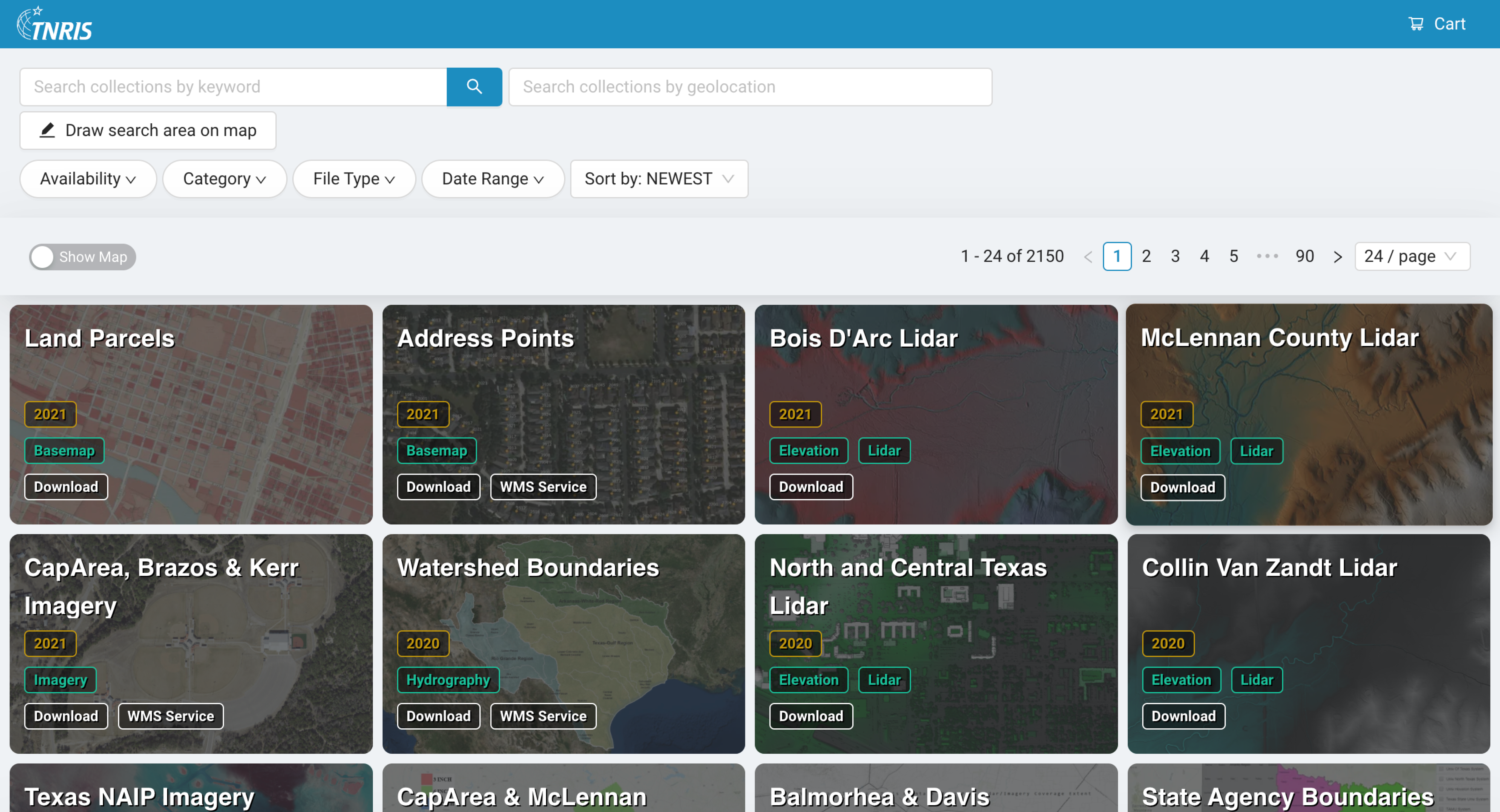
The DataHub is the new modern web application built for the public to view, learn about, download, order, and inquire about TxGIO data. The application simplifies TxGIO data processes and workflows via a content management system which feeds the DataHub frontend. This allows for quicker and more accurate data delivery to the public.
TxGIO Bulk Downloader

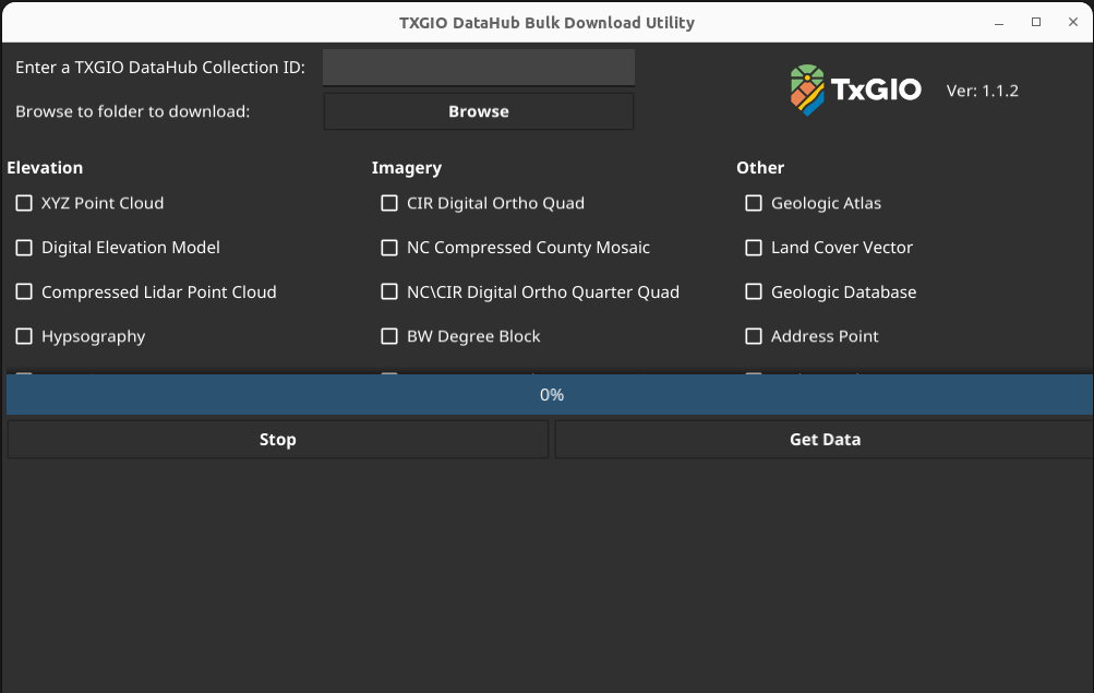
The Bulk Downloader utility uses the publicly available TxGIO REST API for data.geographic.texas.gov collection resources. It allows for bulk downloading an entire collections' resources, bypassing the need to click each area polygon (county, quad, qquad, etc) in the download map.
Flood Viewer

Texas is no stranger to flood. With its diverse geography and extensive, hurricane-prone coastline, the state frequently leads the nation not only in structural damage but also in loss of lives related to flooding events. This application provides users current flood levels across the state by mapping Flood Gauges, lake water elevations, and weather information. Users can create an account and subscribe to receive SMS text message alerts when gauges reach dangerous flood levels.
2017 Interactive State Water Plan

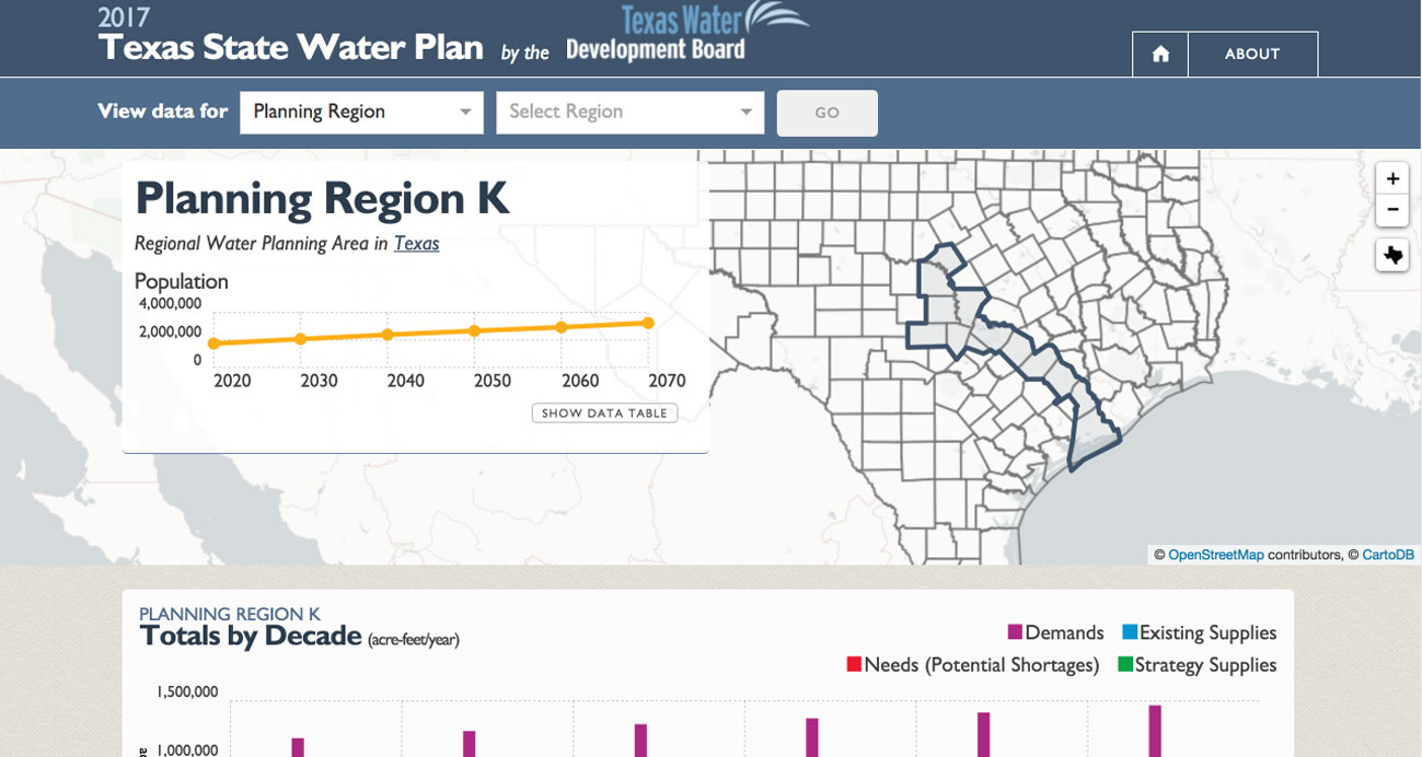
This website is an integral part of the 2017 State Water Plan that lets water users statewide take an up-close look at data in the 2017 State Water Plan and how water needs change over time. The user-friendly website, which is also easily viewed on most mobile devices, now shows:
- Projected water demands
- Existing water supplies
- Relative severity and projected water needs (potential shortages)
- Water management strategies recommended to address potential shortages
- Recommended capital projects and their sponsors