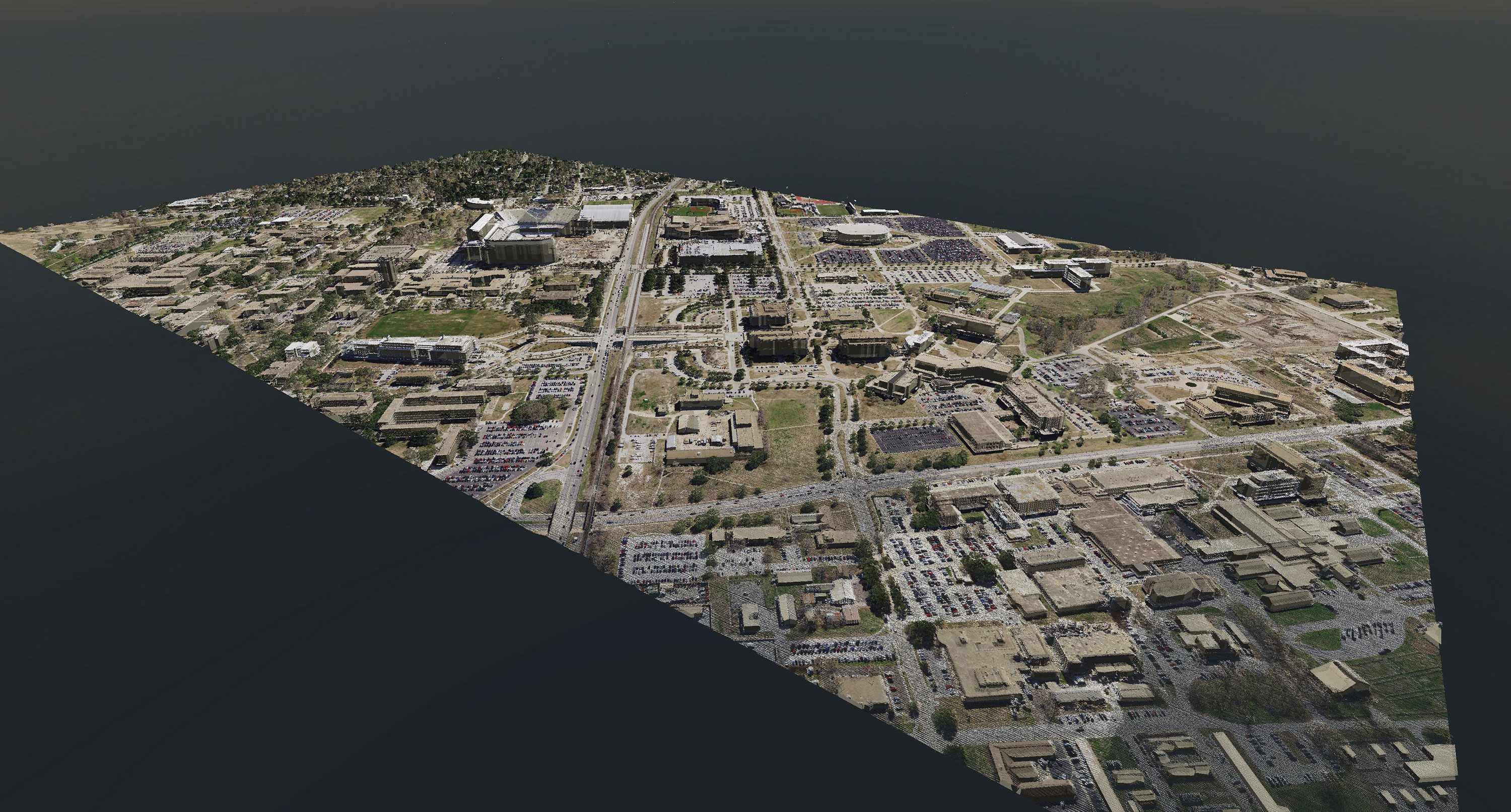
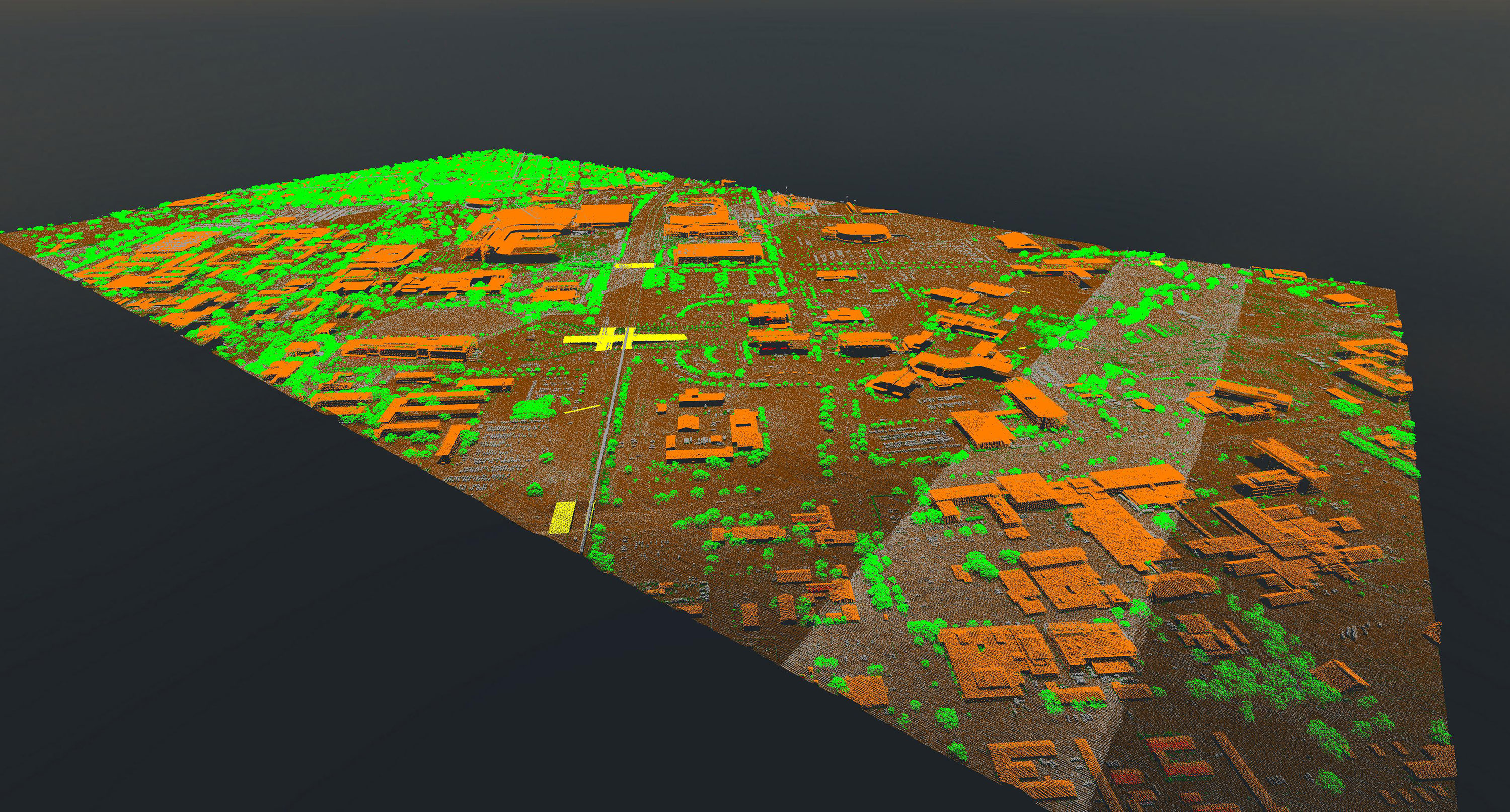
Lidar - Light Detection and Ranging, is a remote sensing technique that utilizes light in the form of a rapidly pulsed laser to measure return distances from the Earth captured by a sensor at the source of the pulse. These combined pulse return measurements with additional spatial and temporal data recorded by the acquisition system (airborne or terrestrial) produce a three-dimensional (3-D), detailed representation of the shape of the Earth illuminating its surface characteristics.
TxGIO acquires lidar data through partnerships with other federal and state agencies through the StratMap Contract , which operates through the Texas Department of Information Resources (TxDIR).
TxGIO Lidar Coverage
TxGIO and partners have successfully flown Lidar to cover the entire State of Texas. All Lidar projects can be downloaded for free on the DataHub. Specifications vary by collection. Active lidar project coverage and project details (nominal point spacing, data source, estimated time of availability, etc.) can be found below on the Lidar Status Map. Complete details about each dataset in our collection can be found in the supplemental reports for each project on the DataHub.
Explore Lidar Collection Indexes
Looking for lidar coverage information? Use our Lidar Selector app to browse and download indexes for lidar collections in Texas. These indexes show where lidar data exists and help you identify coverage areas. Please note: indexes do not include the lidar data itself.