2018 GeoRodeo | Austin, Texas
Annual Texas GeoDeveloper Round-Up, May 4th, Austin, Texas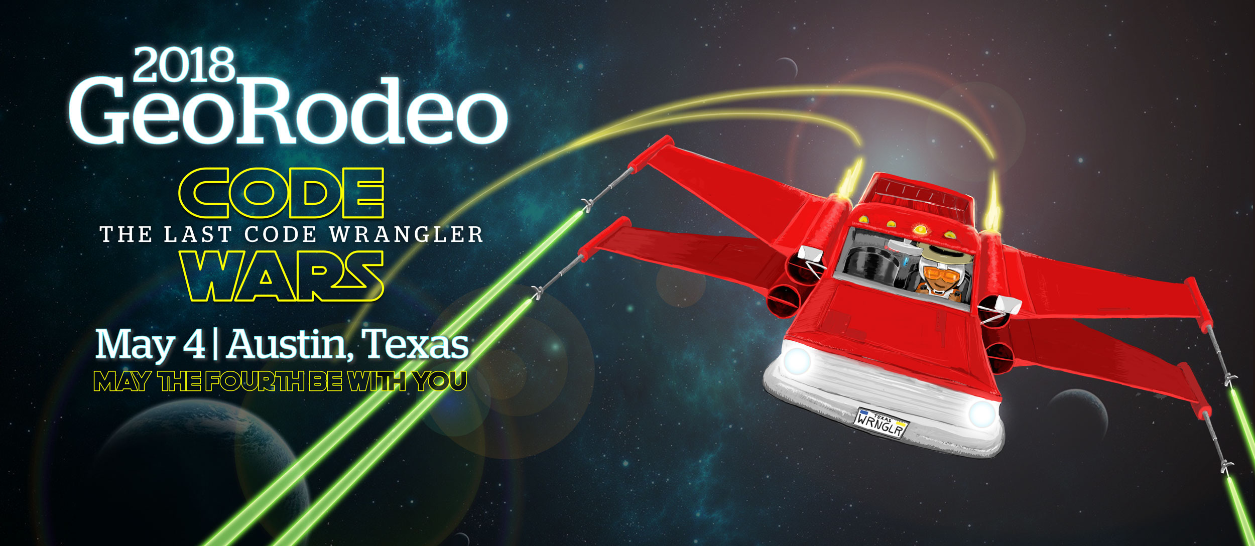
Code, Code on the Range
TNRIS invites you to Austin on Friday, May 4, 2018, for the 6th annual GeoRodeo - a roundup of geodevelopers, coders, and professionals from across the state of Texas who are looking to incorporate new ideas and creative solutions into their work.
This free, interactive, technical conference is geared toward the Texas GIS/geospatial developer community.
Join us to learn about tips and techniques for open data, open source, commercial GIS applications, and more!
We want to hear from you!
Our community has a wide array of developer knowledge and the GeoRodeo is intended to foster involvement from Code Wranglers of all experience levels. Whether you have written a Python script to automate a daily task, used Javascript to create a single page web application, put a Geoserver instance on a Raspberry Pi, or managed the deployment of a containerized multi-app infrastructure, please come share!
Presentations will be categorized to help ensure the GeoRodeo has something for everyone. We consider all presentation subjects and do not limit only to the listed categories. This year's categories include:
- My First App
- 100 Lines of Code or Less
- Internet of Things (Raspberry Pi, Smart Home App, etc.)
- GeoProcessing Tool, Extension, or Add-On (ArcGIS, GDAL, QGIS)
- I Automated a Routine!
- Code Vigilante (Broke the Rules)
- Sharp Shooter (Advanced App)
- Elite Level Hacker
- Analysis & Conclusions
- Project Management
- User Experience/Interface or App/Site Design
- Other (We consider all presentations!)
I am new to programming. Will I benefit from this?
Yes, this event is designed to help you make connections and provide some guidance for accomplishing your geospatial goals. There will be an emphasis on coding and breaking down the process for modern geospatial solutions.
Should I bring my own Laptop?
Yes, we encourage you to bring your own laptop loaded with whatever tools and code that you may want or need. There will be wireless internet connections available. Note: Make sure you have a fully charged battery to avoid power outlet ‘range wars’!
Free Registration
Registration is free and open to all. We look forward to seeing you at the GeoRodeo!
Brought to You By
Thank you to our sponsors who make it possible to host the Texas GeoRodeo.

Agenda
Note: Agenda times subject to change.
7:45AM to 8:30AM
Registration – Breakfast – Social
Sponsored by 
8:30AM to 8:45AM
Opening Remarks
8:45AM to 10:15AM
8:45AM to 9:30AM
Mark Korver, Geospatial Lead, Technical Vision and Business Development, Amazon Web Services
 Best Practice for Serving COG Imagery using MapServer/GDAL on AWS
Mark is the Geospatial Lead on the Specialist Team at AWS, part of the Technical Vision and Business Development group. He supports large geospatial customers, and works closely with the Scientific Compute and Open Data teams on projects such as Earth on AWS. In addition, he represents the solution architecture team as the core storage expert. Mark holds a Master in City Planning from MIT with a specialization in Technology Transfer and is a native Japanese speaker.
9:30AM to 10:00AM
Martijn van Exel, OpenStreetMap Community Lead at Telenav
 OpenStreetCam: Improving OpenStreetMap with crowdsourced street level images
Martijn has been involved with the OpenStreetMap project since 2007 as a contributor and in a leadership capacity. He sits on the Board of Directors of the OpenStreetMap Foundation. He works for Telenav, where he leads initiatives related to OpenStreetMap aimed at improving the map for everyone.
10:00AM to 10:15AM
Cristy Burch, Regional GIS Specialist, Texas Parks and Wildlife
 ArcPy, Pandas, Beautiful Soup and Chronic Wasting Disease - Automating the Weekly Report
Cristy is a Regional GIS Specialist for Texas Parks and Wildlife. Cristy programmed an automated python routine which generates a weekly report on data collected statewide regarding Chronic Wasting Disease (CWD).
Presentation Slides PDF: ArcPy Pandas
Presentation Slides PDF: Example Weekly Report
10:15AM to 10:30AM
Break
10:30AM to 11:45AM
10:30AM to 11:15AM
Andrew Turner, Director of R&D Center, ESRI
 Open Data
Neogeographer and Director of Esri R&D DC. Open Source & Open Data Architect. Brewer, Trombonist, Cyclist, Idealistic Technocrat. Capitol Hill, DC
11:15AM to 11:45AM
Michael Potts, Geodatabase Administrator, Texas Parks & Wildlife
 Python Scripting: Automating Enterprise Geodatabase Maintenance for Texas State Parks
Michael Potts earned an MS in Geography from Texas A&M University and interned for both Washington College and the National Park Service. Casey Trees hired him as a GIS Specialist in Washington DC, where he worked for 5 years. He has 10 years of experience in Python and has taken programming classes through TNRIS. He also works in SQL, HTML, and JavaScript. Currently, he serves as Geodatabase Administrator for Texas State Parks in Austin.
Presentation Slides PDF: Automating Enterprise Geodatabase Maintenance
11:45AM to 1:30PM
Chow Time
Lunch on your own. Here's a map of nearby lunch spots:
1:30PM to 3:00PM
1:30PM to 2:00PM
Jeff Ferzoco, Customer Success Manager, Carto
 The Edge of Location: New tools & CARTO customer stories
Jeff Ferzoco is on the Customer Success team at CARTO, and spends his days helping people better understand good mapping, design, strategy and technical choices. His background in design and urban planning have given him experience in cities, and he loves understanding places through data and cartography.
2:00PM to 2:30PM
Sara Safavi, Software Engineer, Planet
 Geo & Jupyter or: How I learned to stop worrying & love the Notebook
Sara is a software engineer at Planet, where she creates tools to help developers, data scientists, and geo-people do amazing things with daily satellite imagery. When she's not geeking out over pretty pictures of Earth taken from space, Sara can frequently be found giving tech talks & teaching workshops centered around Python and/or geospatial data.
2:30PM to 3:00PM
Todd Smith, Product Manager, Cesium
 CesiumJS and Cesium ion
Todd has been with the team from the beginning. While he works out of the Exton, PA office, he spends lots of time on the road, interfacing between the Cesium development team and the user community and forging partnerships. As the original Cesium ion power user, he has driven many of the improvements to ion. Todd is a Penn State GIS graduate and has been in the web mapping world for over 15 years.
Presentation Slides PDF: Cesium Ion
3:00PM to 3:15PM
Break
3:15PM to 4:15PM
3:15PM to 3:45PM
Chris Williams, HomeAway
 The Data will be with you, Always!
Chris began to blend GIS and database fundamentals to solve data problems 20+ years ago at TCEQ. He was fortunate enough to find TNRIS and moved on to focus on solutions using SQL Server, ArcSDE and GeoDatabases. His current role at HomeAway is as a Database Engineer, where he works with a lot of database technologies (MongoDB, Cassandra, Neo4J, and SQL Server) to solve these problems. In the Fall, you can also find him teaching his GeoSpatial Database class at ACC, where he teaches these same data ideals.
3:45PM to 4:15PM
Ibrahim Demir, Assistant Professor, University of Iowa
 Disaster Communication Using Intelligent Systems, Holograms and Virtual Reality
Ibrahim Demir is an assistant research professor at the University of Iowa. His research focuses on hydroinformatics, environmental information systems, scientific visualization, big data analytics, intelligent systems, and information communication. He has led the design and development of many research and operational cyber systems including Iowa Flood Information System, Iowa Water Quality Information System, NASA IFloodS Information Systems, and Iowa Watershed Approach Information System.
Presentation Slides PDF: Disaster Communication Using Intelligent Systems
4:15PM to 4:30PM
Closing Remarks
5:00PM
Social at Adelbert's Brewery
Location & Parking Information
COMMONS LEARNING CENTER
at the J.J. Pickle Research Campus
10100 Burnet Rd Austin, TX, 78753
Parking Pass
A parking pass is required at the Commons Center. Download, print and display prominently in your vehicle.
Download Parking Pass