2019 GeoRodeo | Austin, Texas
Annual Texas GeoDeveloper Round-Up, May 16 & 17, Austin, Texas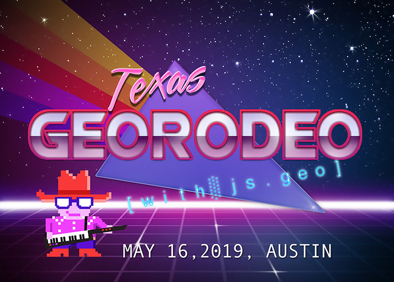
Welcome to Paradise May 16, 2019
A dual luxury event spectacular!
TNRIS invites you to Austin on Thursday, May 16, 2019 for the 7th annual GeoRodeo and Friday, May 17, 2019 for JS.GEO.
The GeoRodeo is a roundup of geodevelopers, coders, and professionals from across the state of Texas who are looking to incorporate new ideas and creative solutions into their work. This free, interactive, technical conference is geared toward the Texas GIS/geospatial developer community.
Join us to learn about tips and techniques for open data, open source, commercial GIS applications, and more!
New Location!
I am new to programming. Will I benefit from this?
Yes, this event is designed to help you make connections and provide some guidance for accomplishing your geospatial goals. There will be an emphasis on coding and breaking down the process for modern geospatial solutions.
Should I bring my own Laptop?
Yes, we encourage you to bring your own laptop loaded with whatever tools and code that you may want or need. There will be wireless internet connections available. Note: Make sure you have a fully charged battery to avoid power outlet ‘range wars’!
Code of Conduct
Attendees and participating organizations at the GeoRodeo are required to agree to a Code of Conduct
Free Registration
NOTICE: Registration has now closed. Walk-ins welcome to the event but will not be permitted into the post-event social.
Brought to You By
Thank you to the companies and organizations that make it possible to host the Texas GeoRodeo.

Agenda
Note: Agenda times subject to change.
8:00AM to 9:00AM
Registration – Breakfast – Social
Sponsored by 
9:00AM to 9:15AM
Opening Remarks
9:15AM to 9:45AM
Patrick McGranaghan, Reddit Map Forum Creator
Denver, Colorado based geospatial geek. By day Patrick is a survey drafter for an engineering firm. After work, Patrick runs a popular Reddit map forum dedicated to the appreciation of beautiful maps and geographic data analysis. Patrick also contributes to OpenStreetMap humanitarian efforts in Denver and around the world. Patrick originally started land surveying in Austin, Texas.
9:45AM to 10:15AM
Andrew Chapkowski, ESRI Software Developer
 Demystifying Artificial Intelligence in Geo
Andrew Chapkowski is a software developer and Pythonista. He has over 15 years of experience with IT and GIS. Andrew is a developer for the ArcGIS API for Python at Esri. He has worked in the fields of agriculture, emergency management, and defense.
10:15AM to 10:45AM
Michael Shensky, University of Texas at Austin (UT Libraries) – GIS and Geospatial Data Coordinator
 A Scripted Approach for Normalizing Geospatial Data in a Relational Database and Assessing Alternative NoSQL Database Storage Options
Michael Shensky is the GIS & Geospatial Data Coordinator for the UT Libraries at the University of Texas at Austin. In this role he develops GIS training resources, provides personalized research consultation services for the university community, and designs GIS solutions for improving access to geospatial resources in the UT Libraries’ collections. He earned his MA in Geography from California State University, Fullerton in 2013.
10:45AM to 11:00AM
Break
11:00 AM to 11:30AM
Daniel K. Pearson, US Geological Survey - Geospatial Science + Cyber Innovation Branch Chief
 Thoughtful (and Data-Driven) Approaches to UI Design: Motivating Citizens to #BeWaterAware Before, During and After Storms
Daniel K. Pearson has been with the USGS since 2002. He currently serves as the Geospatial Science + Cyber Innovation Branch Chief in Austin, TX. He provides technical expertise to both cooperators and staff, and oversees a team of developers, geographers and hydrologists whose function is to produce innovative geospatial solutions; perform complex hydrologic and spatial analyses; and contribute to ongoing research across the Nation.
11:30AM to 12:00PM
Laura Bell Sepulveda, Texas Water Development Board
 Test Before you Build: How to use prototypes and think aloud user testing to build better products
Laura’s background is in GIS mapping and government data. This type of work has allowed her to flex her creativity and strategic thinking strengths to innovate workflows, and improve decision making through data-driven insights. She is passionate about making information accessible and useful for stakeholders and recently graduated with a certificate in Interaction Design and Social Entrepreneurship from the Austin Center for Design.
12:00PM to 1:30PM
Chow Time
Lunch will be provided to Registered Participants. You must have completed and successfully submitted the registration form in advance of the event to receive lunch.
1:30PM to 2:00PM
Jordan Carmona, City of McKinney | GIS Specialist
 Integrating Google Sheets to an Esri SDE Feature Class
Jordan Carmona leads the geospatial program across four departments at the City of McKinney’s Development Services Division as a GIS Specialist. Since the beginning of 2017, he has established multiple citizen-centric web applications, integrated non-spatial databases into the GIS, forged two public-private partnerships, and launched the City’s first spatial drone program. Jordan has a dual BA in History and Political Science from the University of North Texas.
2:00PM to 2:30PM
Daniel J. Dufour, CEO of GeoSurge
 Cool Stuff You Can Do with GeoBlaze, a Raster Analysis Engine for JavaScript
Daniel Dufour is passionate about advancing geospatial analysis in JavaScript. He currently co-leads geotiff.io and geoblaze.io. He recently contributed encoding functionality to geotiff.js and invented a novel algorithm for calculating the intersection of an arbitrary polygon with a raster. He also contributed in building code.gov and the Global Agricultural & Disaster Assessment System at the U.S. Department of Agriculture.
2:30PM to 3:00PM
Aubrey Drescher, Texas Water Development Board, Programmer
 Transitioning to vector tiles in your web map
Aubrey Drescher has an M.S. in Earth Systems Science from George Mason University. She fell in love with GIS in college. Over time, programming began to look interesting to her, so she took classes in .NET. She got her first developer job at a small company and learned JavaScript on the job. 5 years ago, she moved to Austin and into local government where she learned about python and map services. She currently works at the Texas Water Development Board and helps to plan each year’s ATX GIS Day.
3:00PM to 3:30PM
Break
3:30PM to 4:00PM
Thomas Montgomery, City of Austin, Senior IT Applications Analyst
 Municipal Government and the Internet of Things: Austin's New Smart Fleet
Thomas Montgomery works in Municipal IT where he enjoys learning and talking about automation, spatial technology, and data analysis. Thomas' technical interests include open data advocacy, python data manipulation, spatial database management, and the internet of things. Currently employed with the City of Austin, he works in the Austin Resource Recovery department where he hacks together solutions and does analysis. Growing up in Georgetown, his hobbies include mycology, cooking, and writing.
4:00PM to 4:30PM
Kevin Booth, Texas State University, Graduate Assistant
 Global Economic Analysis on a Budget
Kevin is a graduate student and graduate assistant at Texas State University. When not working on his thesis research you can find him teaching students in a GeoProgramming or Fundamentals of GIS lab. His interests include leveraging all types of technologies in unique ways to solve difficult research tasks on a limited budget.
4:30PM to 5:00PM
Lightning Talks
As we've done in previous years, we'll end the day with Lightning Talks, where any attendee can step up to present. If you have something quick to share, come prepared with an idea of what you could present within a short 5-minute time slot and sign up for a lightning talk on-site at the event.
Lightning Talk Rules
- 5 minutes max – We will tightly enforce this.
- No external computer laptops or tablets - only browser based access to materials and links.
- Tips: Understand your topic – make your point at the beginning. You don't have to use all 5 minutes.
Post Event Social hosted by Google
Following the presentation schedule, we invite our attendees to walk across the street with us to take a tour of the Google Office and socialize everything geospatial development! There is a limited access to the post-event social. In order to attend you must register for the GeoRodeo this year (walk-ins will not be permitted) and declare on the form your attendance to the social.
Location & Parking Information
Austin Central Library
710 W. César Chávez St.Austin, TX, 78701
Parking
The parking garage holds 140 vehicles and will be available to attendees of the GeoRodeo starting at 7am. The garage charges $13 to park for 10 hours.
When entering the garage, inform security you're "here for the GeoRodeo".
After parking, use the south elevator up to the 1st Floor and the event center entrance will be on the south side of the building. There will be signs posted in the garage and outside the event center entrance to direct you.
Library Parking Information